On 13 February, Universidade Portucalense will host the seminar “Digital surveying technologies in architecture, urban planning, and heritage.” The event aims to deepen and disseminate the application of advanced digital capture and modelling methods in academic and professional settings.
The event, beginning at 2:30 p.m. in Auditorium 201 (2nd floor), brings together researchers, students, and professionals for a session that combines theoretical frameworks, presentations of academic projects, and practical demonstrations of technological equipment.
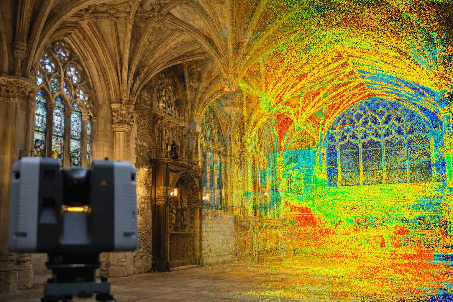
Global Geosystems will present technological solutions and conduct practical demonstrations using fixed and mobile laser scanners, drones, and ground-penetrating radar, allowing participants to interact directly with the equipment and ask questions about specific applications in different contexts.